Charles R. Brace Papers (1877 – 1975)
As a partner with E. L. Crain, Brace developed neighborhoods in Houston including Southside, Pineview, East Baytown, Oak Forest, Garden Oaks, and Timbergrove. His papers include maps, printed materials, newspaper clippings and legal records. Of particular interest are the Crain Read-built Home Catalogs. To read further about the collection, please see the finding aid.

Heritage Society Map Collection (1862 – 1960)
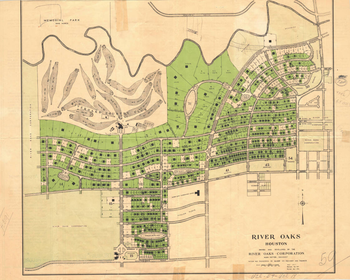
Over 110 maps, blueprints, and printed materials document land use in Houston and Harris County. Of significance are early plats of subdivisions. Pathfinder available here.

Houston Street Scenes Photograph Collection (1967)
Sixty-five color slide transparencies document properties in Houston in May and June 1967 with the East End comprising the bulk of the collection. Also included are slides of several maps of Houston and unidentified properties. The finding aid is found here.

Abstracts of Title (1910 – 1958)
The Harris County Archives currently has 58 abstracts of title which trace land ownership from the Republic to when they were written. These are significant records since title companies no longer do this research. They are an excellent historical resource. For more information, please see the pathfinder.
Frank Spata Map Collection (1906 – 1998)
Two plat books and twenty-two plat maps document the development of the city of Houston, Harris County, Fort Bend County, and Brazoria County, Texas. Of particular interest are the maps of the Fourth Ward prior to redevelopment in the late 1990s, Houston’s Freedman’s Town, and the downtown area of Houston. The finding aid can be found here.
StarTex Title Abstract Collection
Property records including 32 volumes of Block Books created by Texas Title and Abstract Company, 725 volumes of abstracts of title, and 15 order books dating from the mid-1920s document the history of land ownership in Harris County.


