Ferries are an important part of Harris County's transportation system. This collection contains photographs of the Zavalla, Lynchburg, Cedar Bayou, Pasadena, and Galena Park ferries during the early 1930s.
Christening the Tex Dreyfus
FINA Gas Station Photographs
Twenty-eight black and white 8 x 10-inch photoprints document thirteen FINA properties that encircle Houston. The photographs were found in County Judge William Elliott’s records with no explanation of why they were taken. Seven of the original thirteen properties are still operating related businesses (convenience stores, gas pumps, car washes) or have repurposed the FINA gas station architecture.
Although the photographs' original administrative value is unknown, their current value lies in their documentation of the suburban areas of Houston and Pasadena in 1974.
Flooding
Harris County Parks
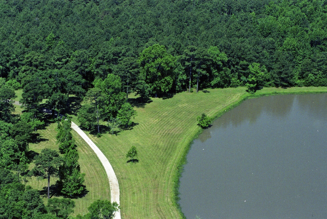
In 2011, approximately 270 slide transparencies in addition to negatives and photographs (1977 - 1997, n.d.) were found in a dumpster near the Harris County Administration Building at 1001 Preston in downtown Houston. These images document the development of county parks, activities, county employees and elected officials, and undeveloped areas of the county. Please contact the Harris County Archives for access to the entire collection.
Brace Ready-Cut House Company, Catalog 6, published between 1920-1930, contains drawings, floor plans, and descriptions of manufactured housing.
Ready-Cut and Sectional Houses, Better Homes for Less Money, Catalogue No. 3, published in 1920, contains price lists, statistics, floor plans, drawings, photographs, and descriptions of manufactured housing designed for company towns and industrial areas.
Brace Ready-Cut House Company, Catalogue 6
Ready-Cut and Sectional Houses, Catalogue No. 3
Houston Streets, 1967
Fifty-two photographs of Houston streets and intersections taken in 1967.
Oscar Holcombe leasing city property along the Ship Channel to the Navigation District in 1922.
Oscar Holcombe signs over city property to the Navigation District
Reprint of the article concerning the signing of the lease
Road Systems and Plans
Plans for the development of the major roadways and streets in Harris County and the Houston region.
Roads
Twenty-eight photographs of Harris County roads and bridges in the 1920s and 1930s.
Subdivision Plats
Used by developers to identify specific blocks and lots in a new subdivision, plats were recorded with the local government or county. Plats can be as simple as a rectangle divided into lots or as complex as an entire neighborhood. They usually contain information on lot size, street names, and features such as railroads or bayous and were often used in promotional materials.

